MARKETS
Our expertisein your fields!
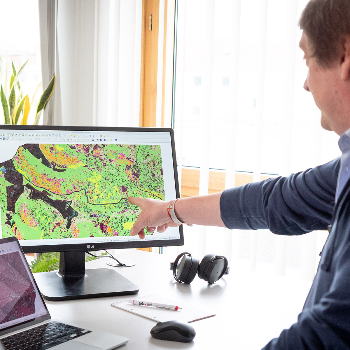
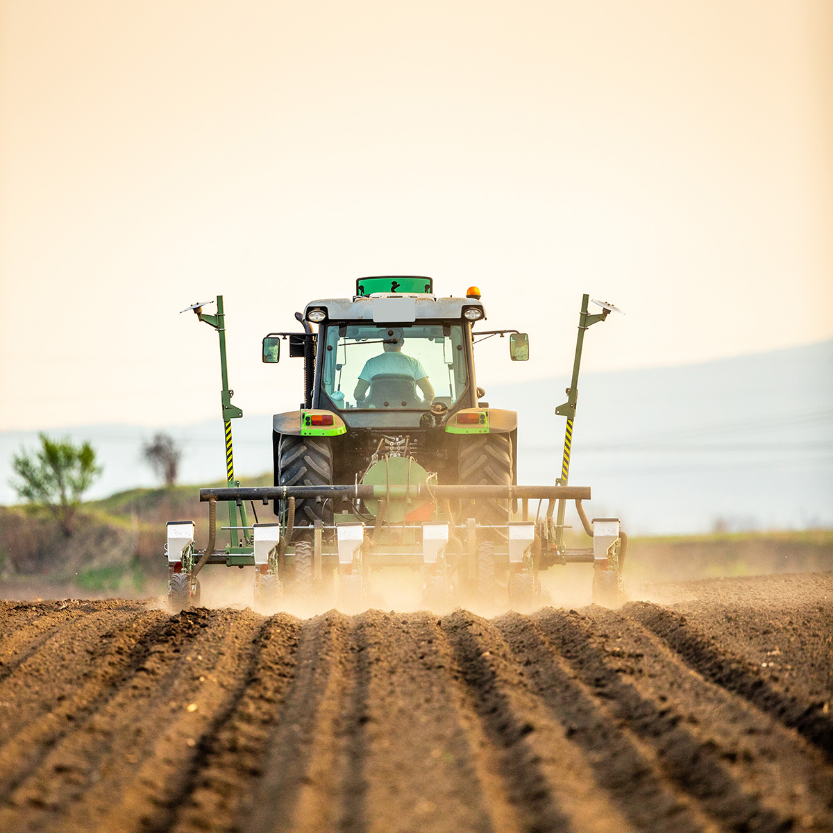
Agriculture & Forestry
How can crop yields be secured, resources conserved and EU requirements met reliably?
EFTAS supports the agriculture and forestry sectors, public authorities and government bodies with up-to-date geoinformation, remote sensing and GeoIT systems. The result: efficient processes and the sustainable management of forests, rural landscapes and agricultural land.
- Remote sensing, mapping and field surveys of forests, farmland and agricultural areas
- Area Monitoring System (AMS) subsidy checks and implementation of European agricultural regulations
- Specialist information systems for agricultural and forestry authorities
- Harvest, damage and site-condition forecasting
- Assessments, evidence documentation and monitoring
- Solutions for precision farming and agricultural statistics
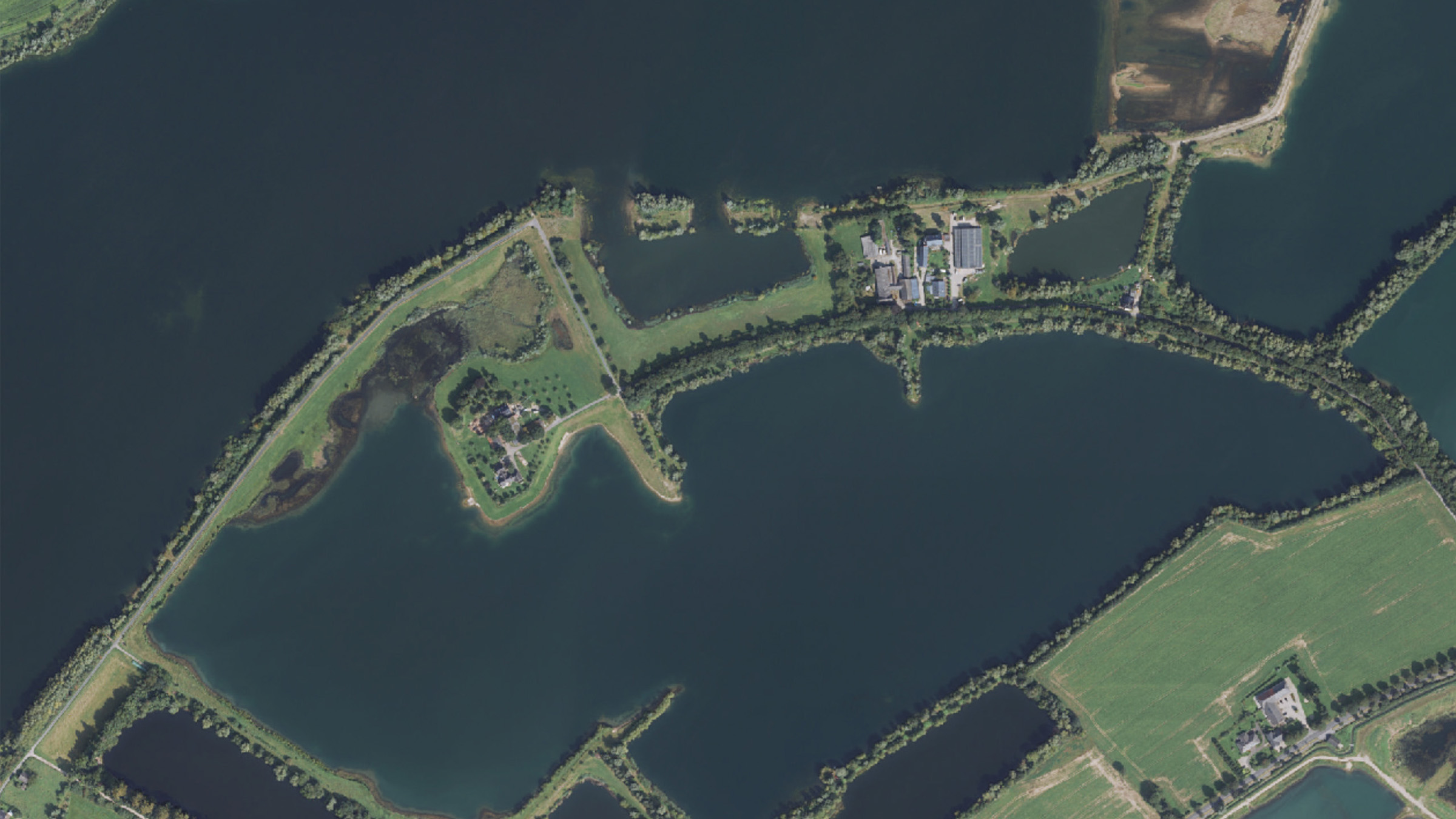
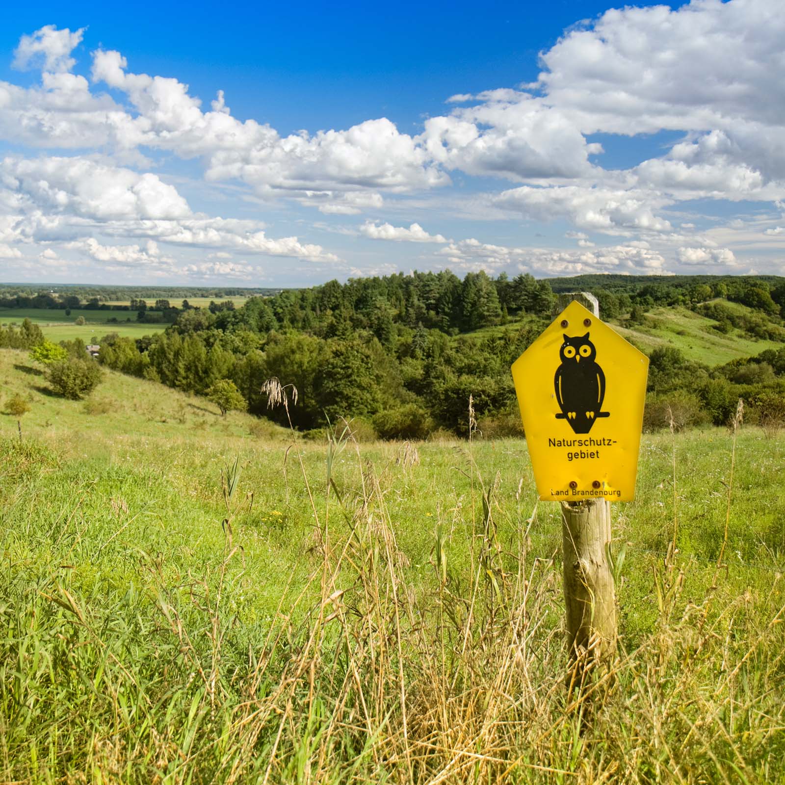
Environment, Nature & Landscape
How can you reliably keep track of environmental conditions, change and legal requirements?
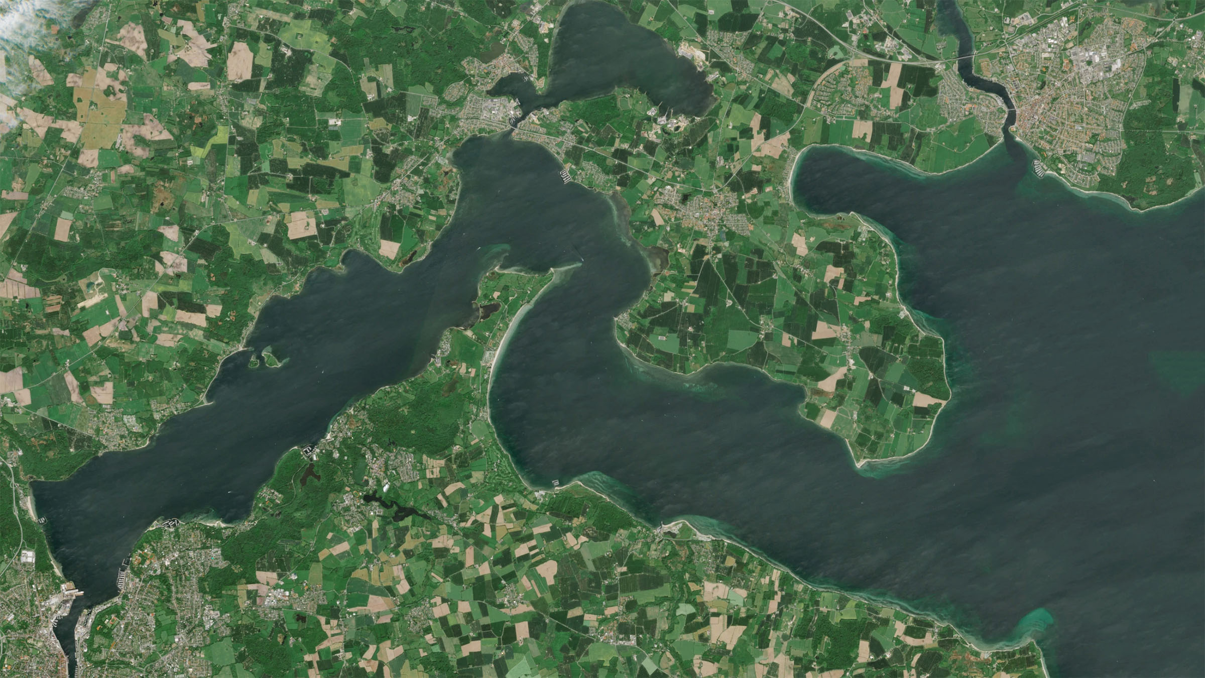
EFTAS provides a clear picture of the state of nature, the environment and the landscape — from vegetation health and water quality to soil sealing and sensitive risk areas. This creates a reliable basis for planning, monitoring, statutory reporting and the responsible protection of our natural resources.
- Mapping of nature, landscape and the environment using remote sensing and field surveys
- Data for EU reporting obligations, including the Habitats Directive, Water Framework Directive and Waste Framework Directive
- Monitoring of vegetation, vitality, water bodies and pollutant inputs
- Observation of discharge regimes, hydrology, uplift and subsidence
- Detection of soil sealing and structural change
- Monitoring of sensitive areas such as slopes, terrain edges and risk zones
The world is complex.
Fortunately, it has coordinates and pixels.

City & Transport
How can cities, infrastructure and mobility be transformed into a reliable digital representation?
EFTAS creates the geospatial foundation for digital twins — from official base maps and 3D city models to land-use, soil-sealing and change mapping. This makes urban spaces measurable, easier to plan and better connected. It serves a future-proof basis for urban development, transport planning and infrastructure management.
- Updating of official base maps
- Land-use, soil-sealing and change mapping
- Creation of 3D city models using photogrammetry
- Urban inventories and digital asset data
- Geospatial foundations for transport and infrastructure planning
- Data sets and models for digital twins of urban environments
Mining & Geo-Resources
How do you keep track of georesources, infrastructure and the impacts of mining throughout their entire life cycle?
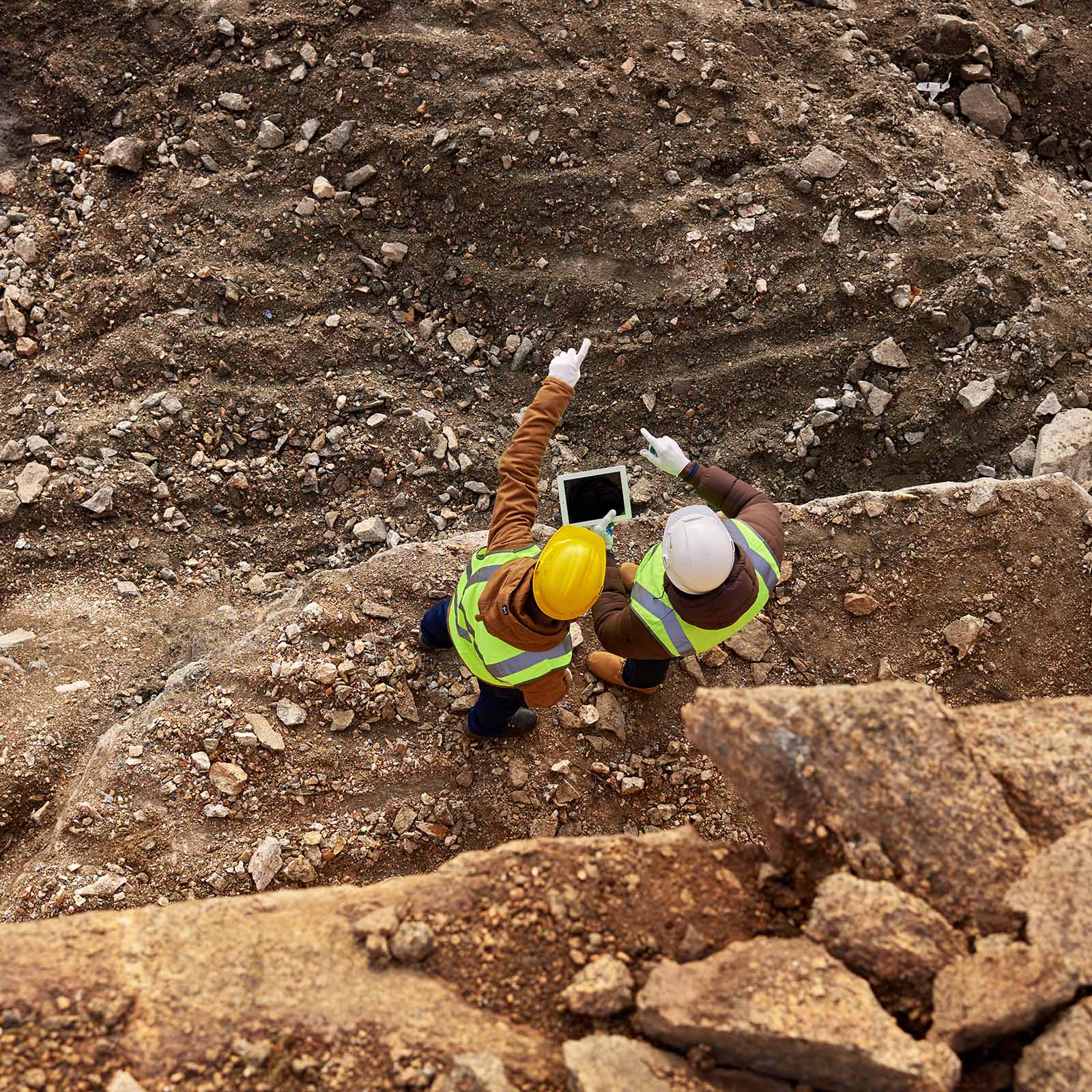
EFTAS supports the mining and georesources sectors as well as critical infrastructure operators with satellite-based ground-motion monitoring, remote sensing and GeoIT. From exploration and active operations to post-mining, decommissioning and restoration, we provide robust data foundations for safety and resource efficiency.
- Exploration planning as well as cluster, distribution and structural maps
- Information on tectonics, structural geology and mineral deposits
- Support throughout the entire mining cycle through to closure, recultivation and post-mining
- Ground movement monitoring for mining impacts, facilities, routes and structures
- Condition monitoring of pipelines, cavern storage facilities and tailings ponds
- Combination of radar, optical and terrestrial data
- Remote sensing-based evidence preservation and long-term monitoring