
Earth-
observation
Precisely for your world!Anyone who monitors land areas, manages resources or assesses environmental changes needs data and tools they can rely on.
Our focus
At EFTAS, we have been doing exactly that since 1988: remote sensing analyses, bespoke GeoIT applications and large-scale in-situ data collection. For complex analyses of our environment: from municipal digital twins to international monitoring projects.
Our aim
To accelerate our clients’ environmental and spatial decisions and provide a foundation they can trust.
Markets
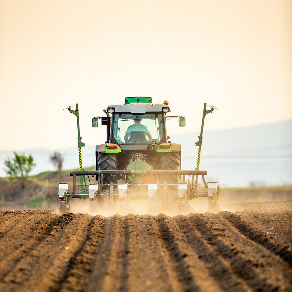
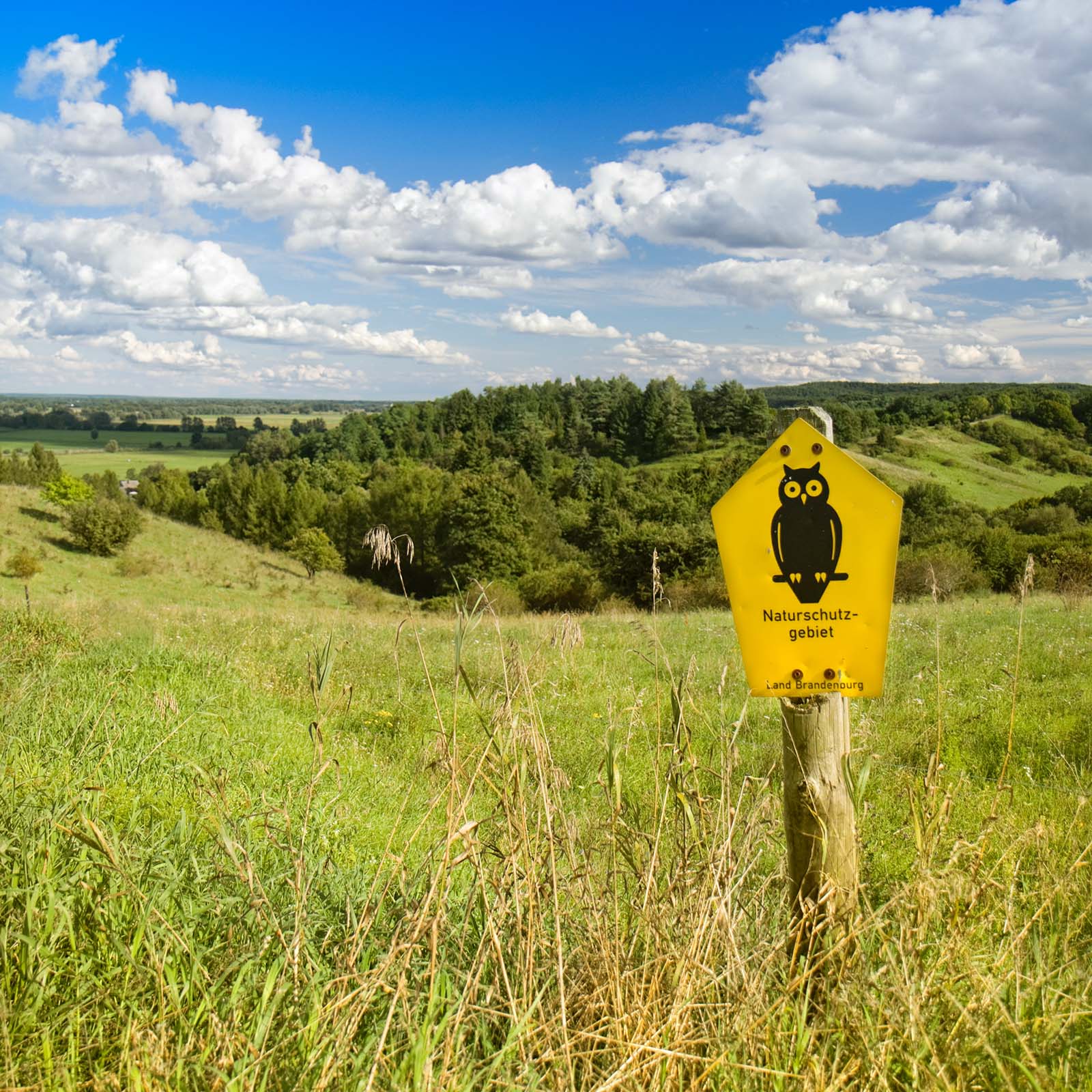
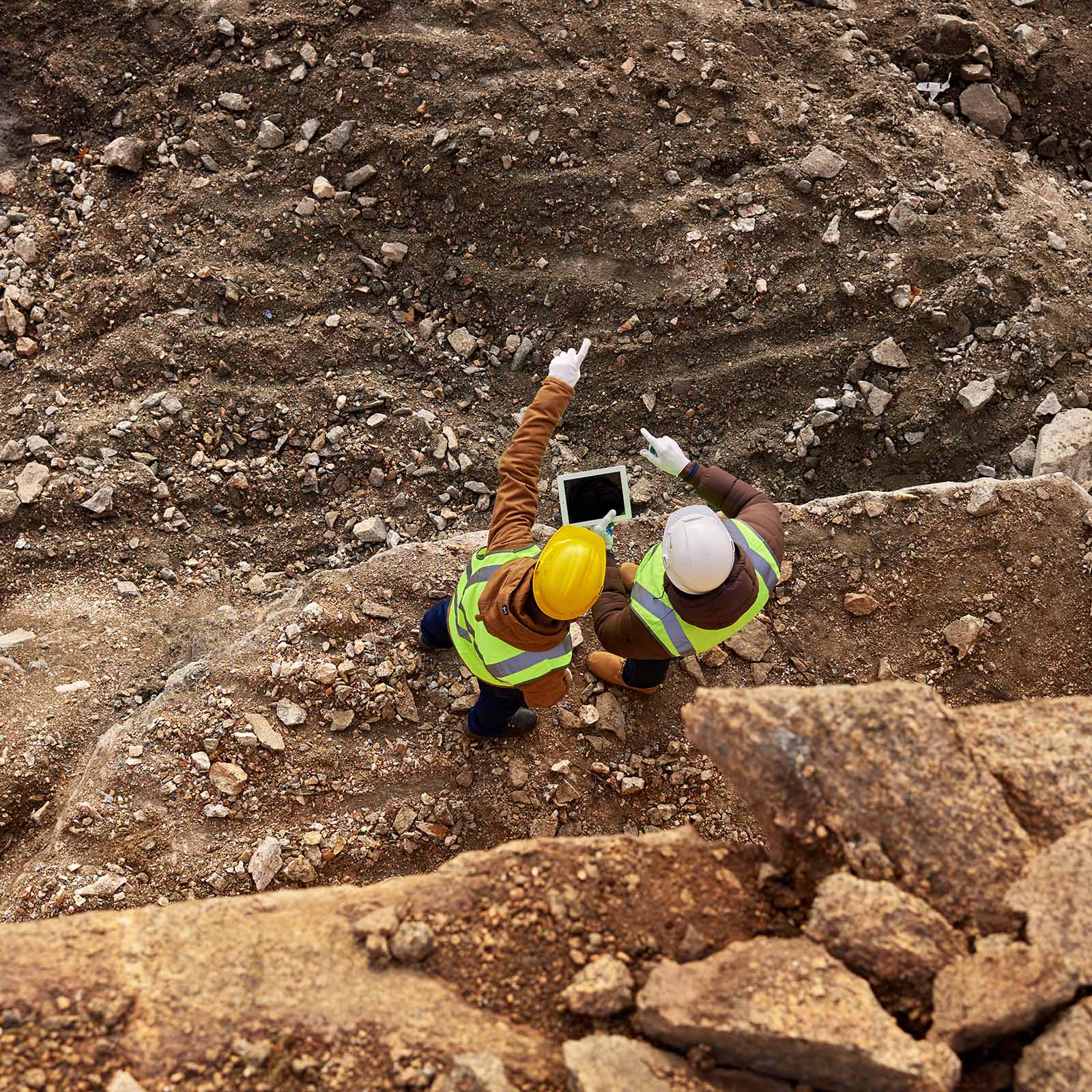
Our expertise in your fields.From agriculture and nature conservation to local planning and georesources – every application has its own specific requirements in terms of data and methods.
We understand these requirements from real-world experience and use remote sensing and GeoIT to develop tailored solutions that actually work within your specific context.

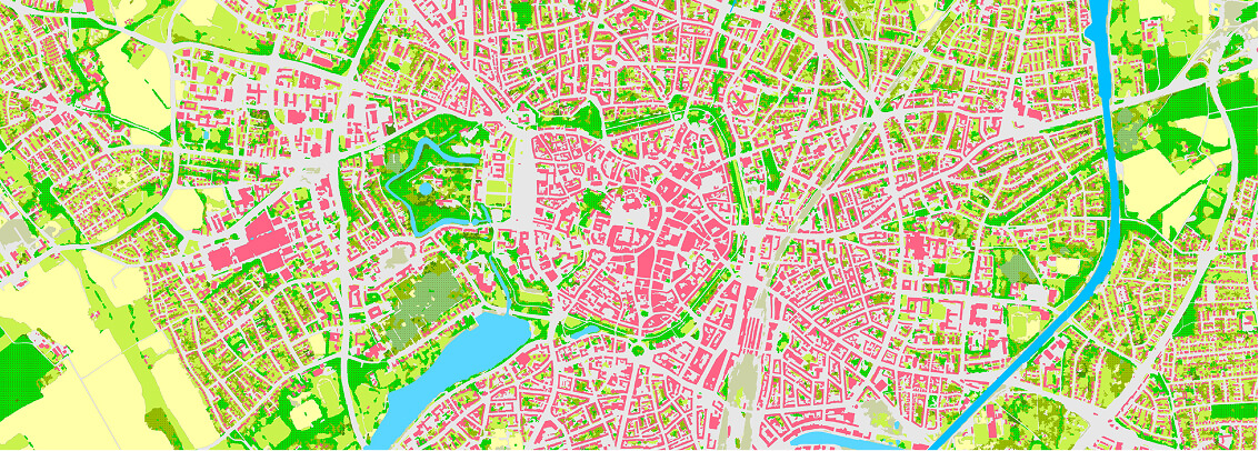
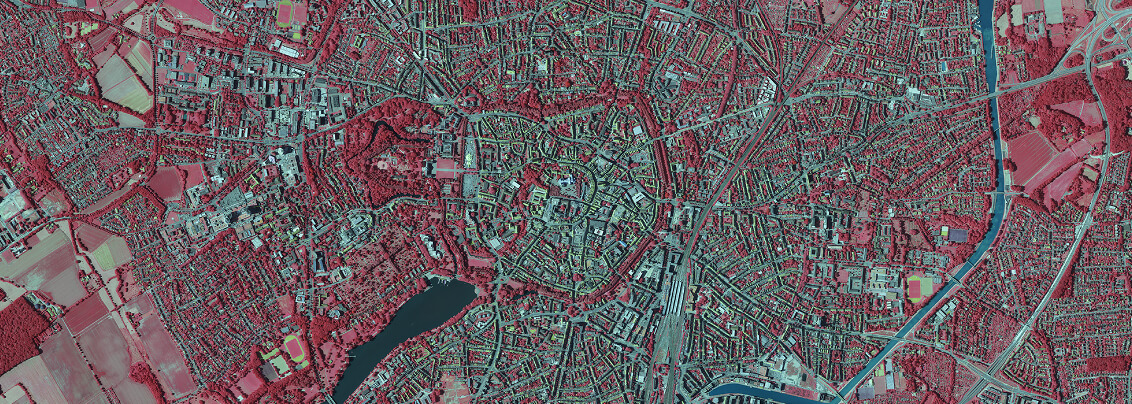
Enthält modifizierte Copernicus Sentinel-2 Daten [2023], verarbeitet durch Geobasis NRW; dl-de/by-2-0 (www.govdata.de/dl-de/by-2-0);
https://www.wms.nrw.de/geobasis/wms_nw_landbedeckung.
Solutions & Services
Everything to do with remote sensing!Our GeoIT solutions are designed to work seamlessly together:
Data acquisition and analysis, software development and strategic consulting are not separate disciplines, but part of one integrated process — from aerial and satellite imagery to practical, ready-to-use applications.
Geodata, analysis
& acquisition
Software &
Technology Development

Research
& Consulting
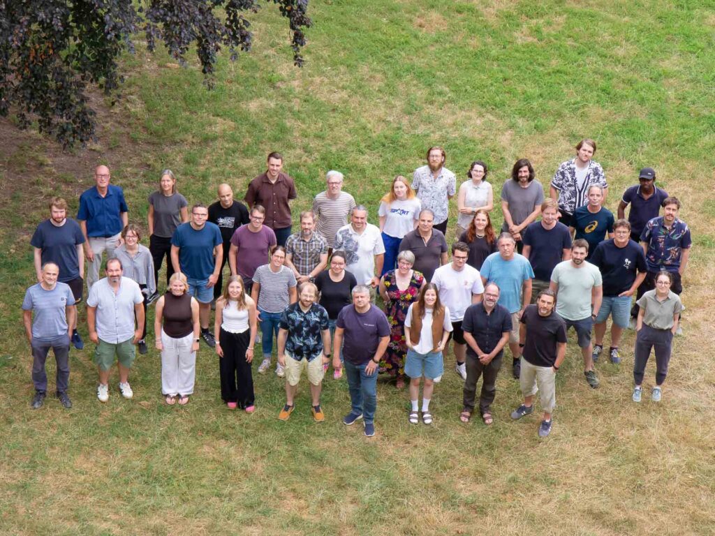
We are
EFTAS
What sets us apart goes far beyond technology: the breadth of expertise within our team. We bring together specialists from geoinformatics, agriculture, forestry, geosciences, environmental sciences, surveying, public administration and many other fields.
Anyone who asks us a technical question relating to their own field of application will receive an answer that not only provides data but also takes the specialist context into account
eftas news
News & more!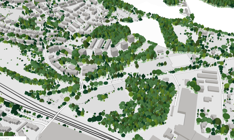
Up-to-date data for Wuppertal’s digital twin
Remote sensing reveals changes in the tree inventory.
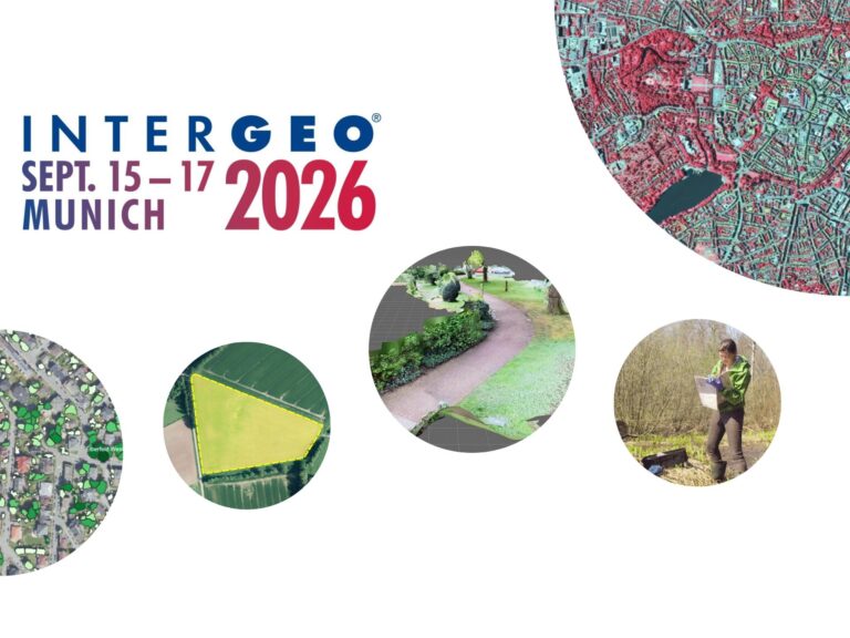
Digital twins are only as good as the geodata on which they are based!
At INTERGEO (September 15–17, 2026, Munich), we’ll demonstrate how a reliable overall picture can be created from various data sources.
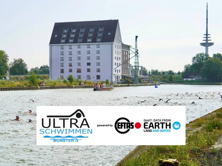
Ultraschwimmen 2026: A New Perspective at the Münster Harbor!
This Saturday, for a change, we won’t be looking down at the water from above. That’s because the “Ultraschwimmen Münster 2026” will once again be taking place at the city harbor!
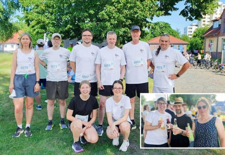
Running with burning soles at the Campus Run!
Our running team challenged the heat at the Leonardo Campus Run last week.

ESA-ESRIN INSIGHT 2026: EFTAS presents GIGASAR
New approaches to combining SAR monitoring, AI and BIM met great interest in Frascati.
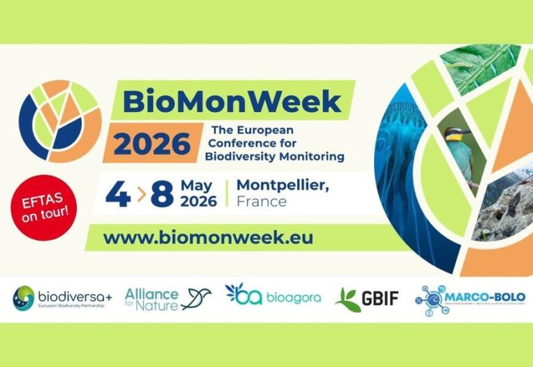
The European Conference for Biodiversity Monitoring
In Montpellier EMBAL was part of the BioMonWeek 2026!In Montpellier war EMBAL Teil der BioMonWeek 2026!
Subscribe to our newsletter.

Subscribe to our
newsletter.