Remote sensing reveals changes in the tree inventory.
The ‘DigiTal Zwilling’ is a dynamic digital representation of the city of Wuppertal that brings together various types of geospatial data for planning and urban development. We have been involved in its development since 2024, and we are now updating a key part of this data set.
On behalf of the City of Wuppertal, we are updating the inventory of trees across the entire city using the latest data from 2025. The result: an up-to-date overview of where trees are located, what species they are, what remote sensing data reveals about their condition, and what has changed since 2021.
One specific reason for the update is the 2031 “Bundesgartenschau” in Wuppertal. “For our planning, we need an accurate and up-to-date assessment of the existing tree population,” explains Dr Christine Pohl, project manager for the DigiTal Zwilling at the City of Wuppertal. “The new data will help us provide planners with a reliable basis for their further work. ” This up-to-date information is crucial, particularly for a digital twin. This is because urban green spaces are constantly changing: trees grow, new ones are planted, others disappear, and their vitality can also change. By comparing the analyses from 2021 and 2025, such developments can be better understood.
For the new survey, we are using our ‘twin4tree’ method for tree assessment, developed as part of the ‘DigiTal Zwilling 4D’ project. It automatically combines various geospatial and remote sensing data, such as orthophotos, elevation data, and ALKIS, Sentinel-2 and PlanetScope data. “Using AI and remote sensing methods, we derive information from these datasets, including tree locations, tree species and vitality parameters,” explains EFTAS project manager Dr Sönke Müller. “The fact that we are now repeating this analysis with up-to-date data transforms a one-off inventory into a continuous monitoring programme.”
This project demonstrates the added value that up-to-date geospatial data brings to digital twins: it not only depicts a current state, but also makes changes visible over time.
Note: The DigiTal Zwilling is part of the ‘Smart Cities Made in Germany’ funding programme run by the Bundesministeriums für Wohnen, Stadtentwicklung und Bauwesen. The updating and automation processes were investigated as part of the project’s own research collaboration, DigiTal Zwilling 4D.
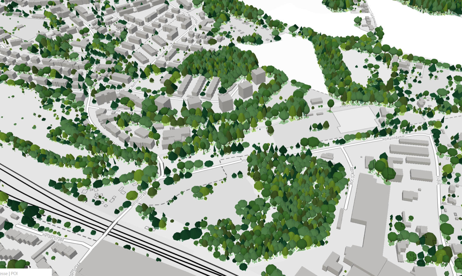
Image: Data visualisation by the City of Wuppertal