Digital twins are only as good as the geodata on which they are based!

EventsGeospatial Data, Analysis & AcquisitionSoftware, Technology & Development
Share this post:
Contact person

A playground under a dense canopy of leaves. A path that’s barely visible in an aerial photo. Or, to put it another way: How is land cover changing across Germany?

The scale may vary, but the challenge is the same:

Digital twins are only as good as the geodata on which they are based.

That’s exactly where we come in.

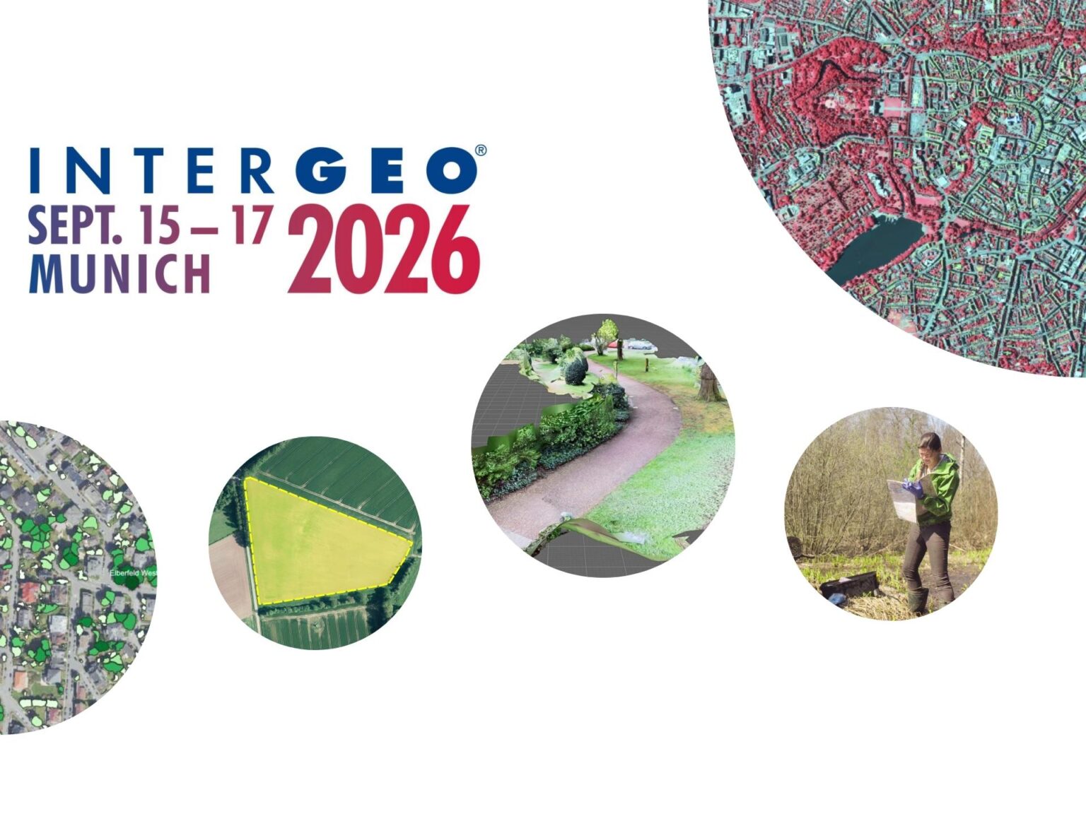
At INTERGEO 2026, taking place September 15–17 in Munich, we’ll demonstrate how a reliable overall picture can be created from various data sources.

🏙️ For municipal authorities, we combine aerial imagery, 3D stereo mapping, and AI to create up-to-date green space cadastres and GIS-compatible datasets as a basis for land management and municipal digital twins

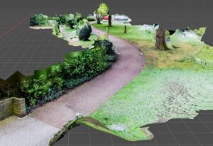
🌳 Where aerial views aren’t enough, close-range photogrammetry comes into play: 3D scanner apps make objects visible even beneath tree canopies and specifically fill in data gaps.

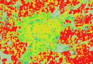
🛰️ And when individual areas become entire regions and countries, satellite data, AI, automated processes, and in-situ field measurements support large-scale monitoring, for example, in Cop4ALL-DE, LUCAS, EMBAL and agricultural monitoring.

This is how we create a precise digital representation of our environment from multiple perspectives!

Are you curious to see how this might work for your specific needs? Visit us at INTERGEO:

📍 Hall B6 | Booth B6C052

We have already reserved a ticket for you so you can meet with us in person. Please contact us:

📩 intergeo@eftas.com
📞 +49 251 133070

We look forward to seeing you in Munich!

Share this post:

Similar posts

Ultraschwimmen 2026: A New Perspective at the Münster Harbor!

26.08.2026

This Saturday, for a change, we won’t be looking down at the water from above. That’s because the “Ultraschwimmen Münster 2026” will once again be taking place at the city harbor!

EventsTeam

Running with burning soles at the Campus Run!

29.06.2026

Our running team challenged the heat at the Leonardo Campus Run last week.

Team

ESA-ESRIN INSIGHT 2026: EFTAS presents GIGASAR

20.05.2026

New approaches to combining SAR monitoring, AI and BIM met great interest in Frascati.

Events

The European Conference for Biodiversity Monitoring

08.05.2026

In Montpellier EMBAL was part of the BioMonWeek 2026!In Montpellier war EMBAL Teil der BioMonWeek 2026!

Environment & NatureEventsGeospatial Data, Analysis & Acquisition

Poster award for GIGASAR

07.05.2026

Award for the innovative integration of SAR, BIM, and geospatial data for infrastructure movement analysis.

City & Transport

Satellite data for sustainable decisions

24.03.2026

EFTAS at the SustainableSolutionsMatch 2026

Environment & NatureEventsGeoIT-ServicesGeospatial Data, Analysis & Acquisition

Focus on AI-supported forest analysis

18.03.2026

EFTAS auf der SmartForest 2026

Agriculture & ForestryEventsGeoIT-ServicesGeospatial Data, Analysis & AcquisitionResearch & Consulting

Cop4ALL-DE is part of the German Government’s 6th “Geo-Fortschrittsbericht” (Geo Progress Report).

13.02.2026

The report outlines developments in the field of geoinformation.

GeoIT-ServicesGeospatial Data, Analysis & AcquisitionResearch & Consulting

Precise green space monitoring for climate-resilient cities

10.02.2026

EFTAS demonstrates an integrated approach combining remote sensing, AI and close-range photogrammetry

City & TransportDownloadGeospatial Data, Analysis & Acquisition

GIGASAR: The trend topic ‘Precise infrastructure monitoring’

29.01.2026

New opportunities through the fusion of BIM and SAR data in ESA project.

City & TransportGeoIT-ServicesGeospatial Data, Analysis & AcquisitionMining & Geo-ResourcesProjectsResearch & Consulting

Subscribe to our newsletter.

Subscribe to our newsletter.