

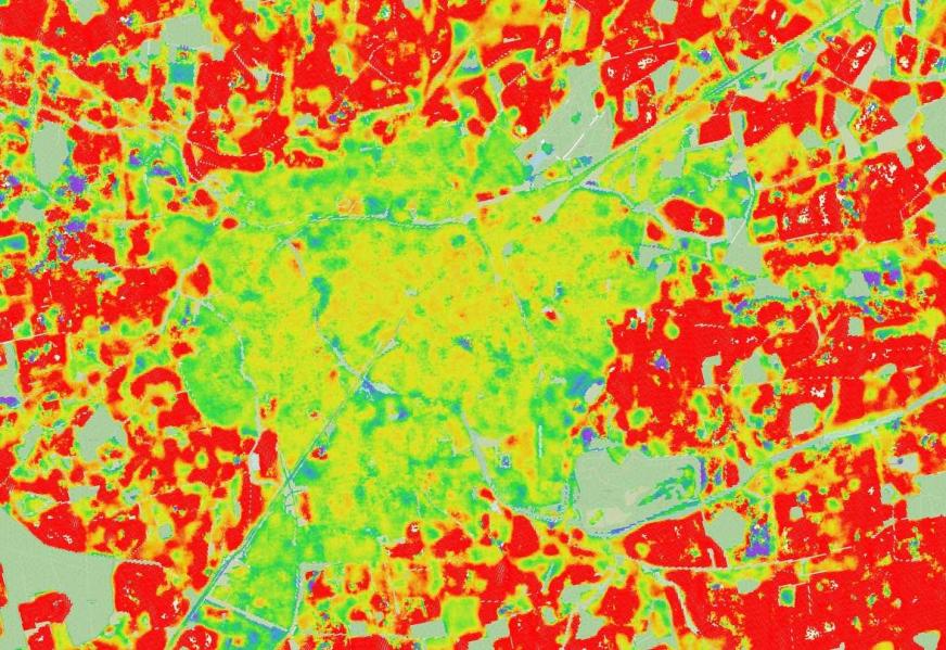
With GIGASAR, EFTAS is focusing on a trend topic that is groundbreaking for the monitoring of infrastructure and urban areas. As part of the new ESA project, we are investigating how high-resolution satellite radar data and digital building models can be combined into a unified analytical approach to detect movements in the subsoil and in structures more precisely than before.
The combination of multi-frequency SAR, structural information on buildings and infrastructure, and modern AI methods opens up new possibilities for identifying changes at an early stage and better assessing risks.
GIGASAR is not merely a research and development project, but an ESA-funded initiative with the clear aim of establishing marketable commercial services for European customers. The focus is on translating state-of-the-art technology into practical, scalable solutions for industry and public administration.
Together with our project partner, the Georg Agricola University of Applied Sciences (THGA) in Bochum, we are developing an integrated approach that combines various SAR frequencies – including Sentinel-1, TerraSAR-X and PALSAR-2 – with BIM data and other geoinformation.
The aim is to reliably identify both large-scale deformation processes and local changes to individual infrastructure assets. By combining regional movement patterns with asset-specific indicators, a significantly more comprehensive picture of potential risks to buildings, roads, bridges or utility networks emerges.
Another key focus is on validating the methods in real-world application environments. To this end, two test areas are being investigated: a cluster of buildings in Bochum and an urban area in Ahlen. Both sites offer ideal conditions for testing and further refining the developed methods under different structural and geological conditions.
In parallel, the project is establishing a European stakeholder platform that brings together research, public administration and industry. Workshops, training sessions and scientific publications are intended to ensure that the project results are widely applicable and can be incorporated into future European services.
EFTAS and DMT THGA look forward to making an important contribution to the further development of modern monitoring technologies through GIGASAR and to providing new impulses for data-driven applications in the infrastructure sector.










