SOLUTIONS
& SERVICES
Everything to do with remote sensing!
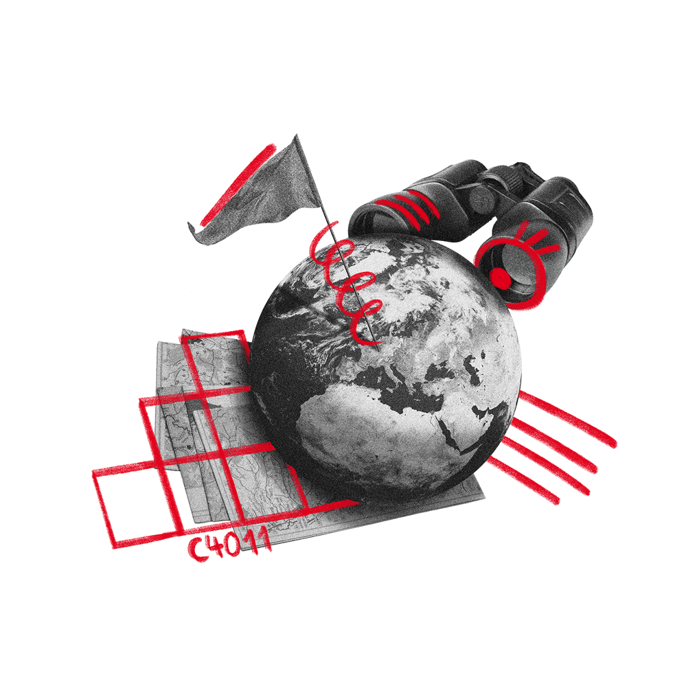
Geodata, Analysis & Acquisition
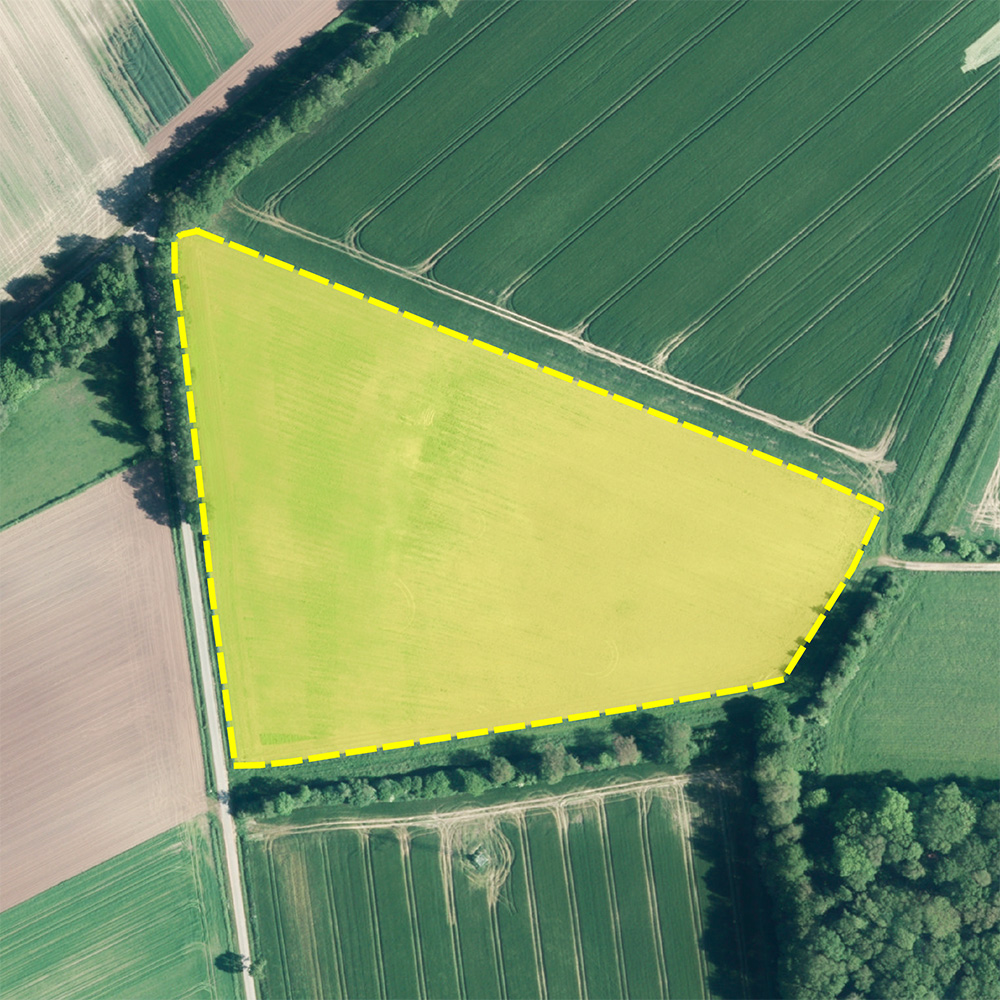
Anyone making decisions relating to the environment needs reliable information about land areas, infrastructure and spatial changes. Many challenges are complex: Where are landscapes and cities changing? What trends are emerging? Which risks need to be identified at an early stage?
Through aerial and satellite image analysis, 3D data capture, photogrammetry, monitoring, mapping, geostatistics and imagery distribution we provide the data basis your informed decision-making. What is changing in your area — and will you see it in time?
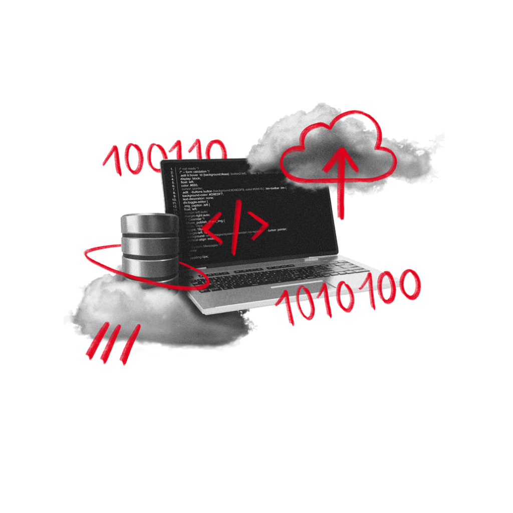
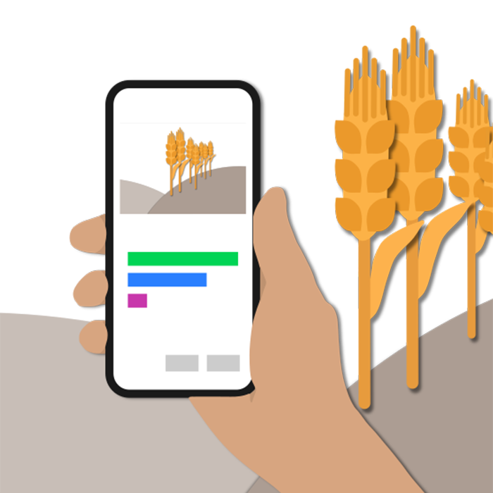
Software & Technology Development
Geospatial data only delivers its full value when it can be accessed and used quickly, clearly and reliably.
Effectively integrating large volumes of data, established IT landscapes and complex business processes is a challenge for many organisations.
Using GIS and interface development, web portal programming, web services, cloud solutions, AI processes, neural networks and app programming we develop GeoIT solutions that make geoinformation available exactly where it is needed. Where does geospatial data still go unused in your processes?
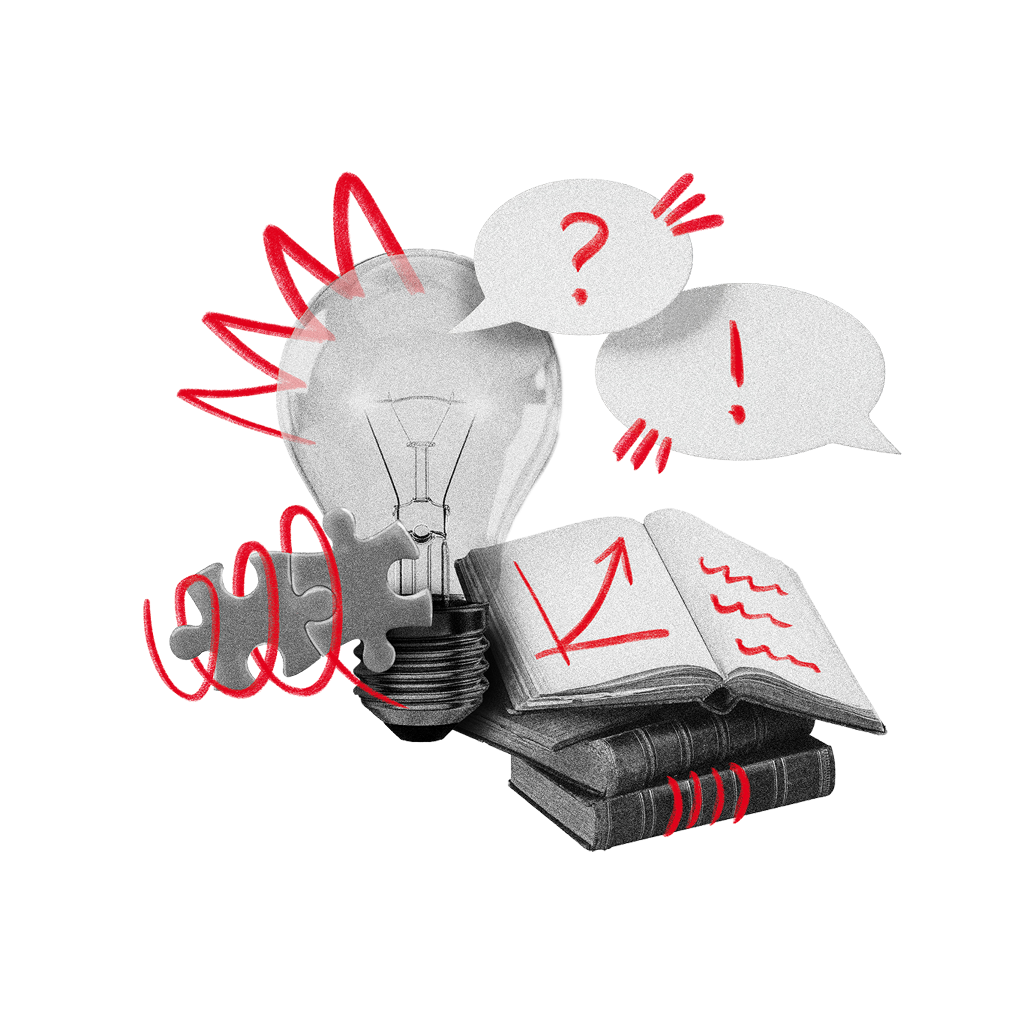
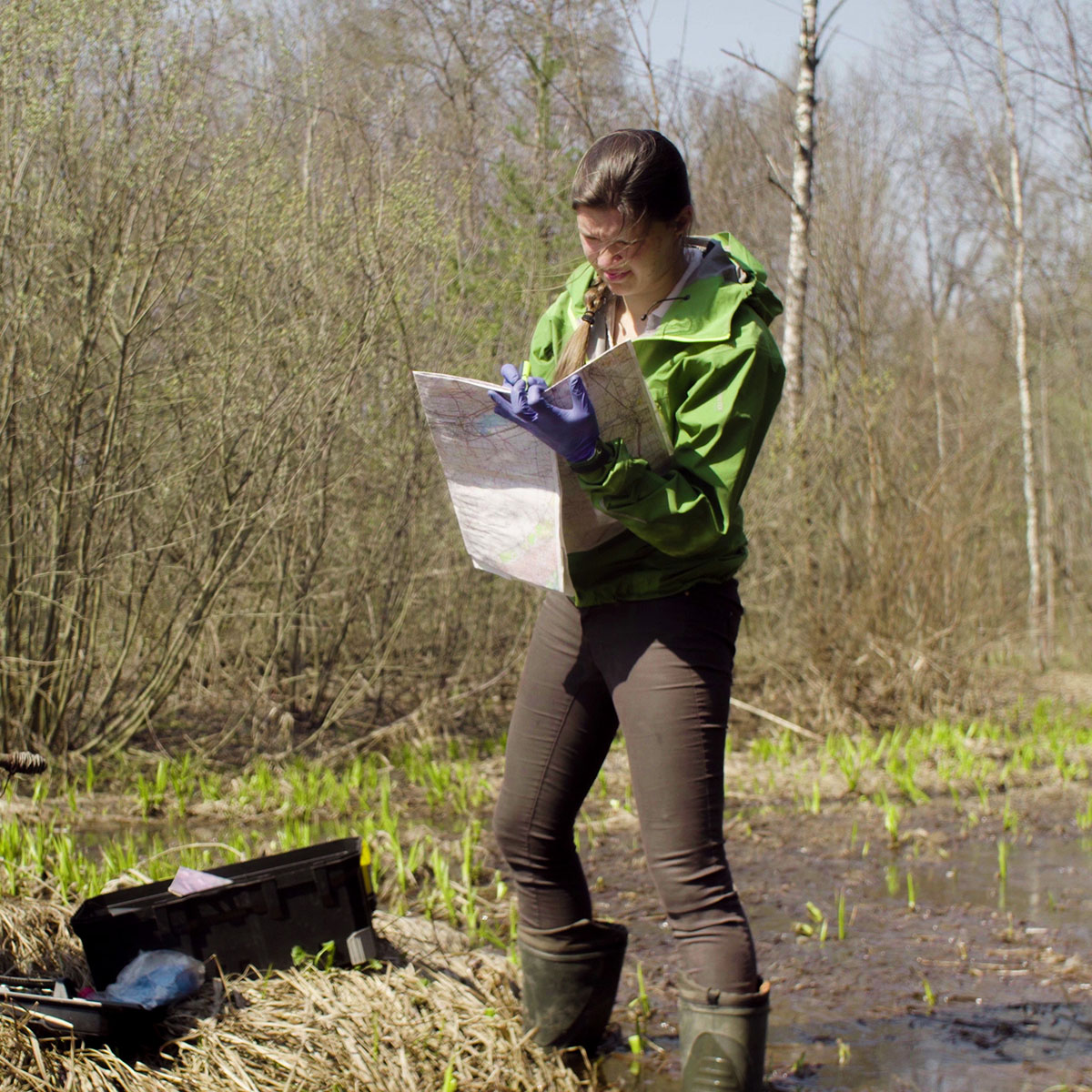
Research & Consulting
New technologies often raise new questions: What makes sense from a specialist perspective? What is technically feasible? And what is sustainable in the long term?
Anyone facing the introduction of new technologies is familiar with the challenge of realistically assessing their potential and making the right decisions for their own processes.
Through research & development, feasibility studies, knowledge transfer, training and process optimisation, we support you in developing practical strategies for remote sensing and GeoIT. In doing so, we combine scientific methods with many years of project experience.