EFTAS
NEWS
News & more!
8 Results
Reset filter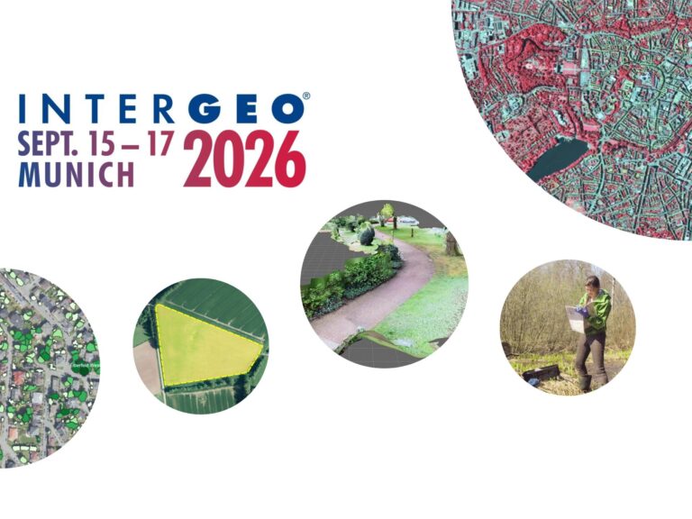
Digital twins are only as good as the geodata on which they are based!
01.09.2026
At INTERGEO (September 15–17, 2026, Munich), we’ll demonstrate how a reliable overall picture can be created from various data sources.
EventsGeospatial Data | Analysis | AcquisitionSoftware | Technology | Development
Reforestation in focus
23.07.2025
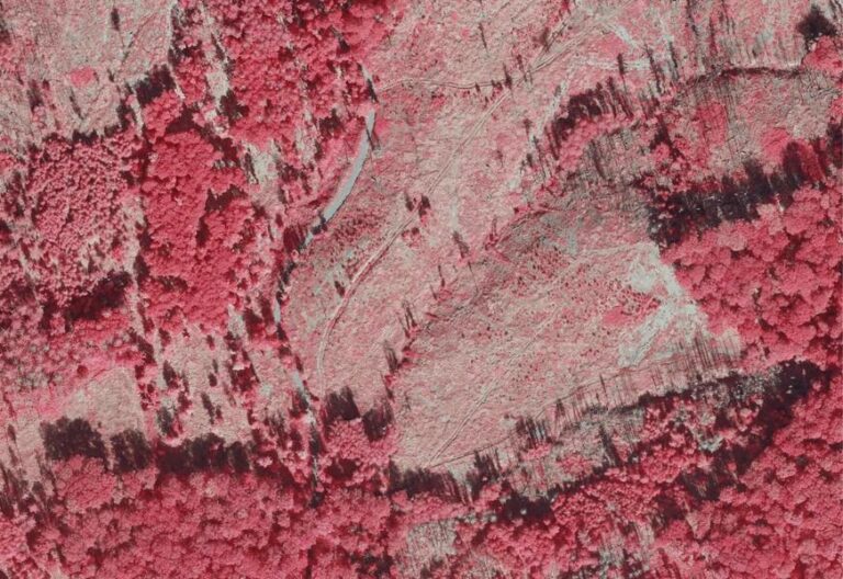
EFTAS further develops monitoring procedures for Waldinfo.NRW
Agriculture | ForestryGeospatial Data | Analysis | AcquisitionProjectsSoftware | Technology | Development
Innovative Technologies for Precise Data Maintenance
29.10.2024
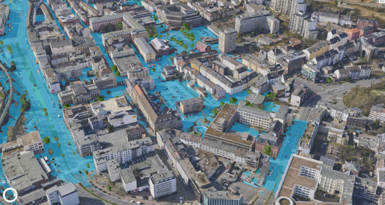
EFTAS supports the digital twin of the city of Wuppertal
City | TransportEnvironment | NatureSoftware | Technology | Development
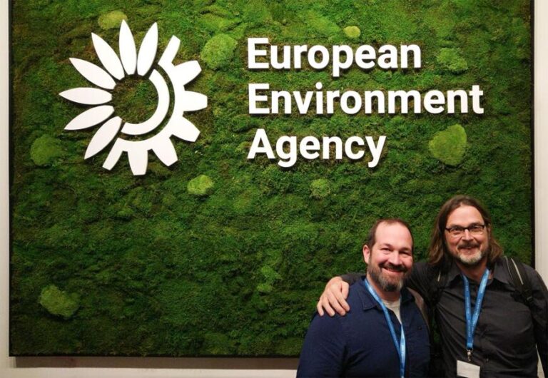
Copernicus Land Monitoring Service (CLMS)
11.03.2024
This is the future of CLMS data validation!
Environment | NatureEventsGeospatial Data | Analysis | AcquisitionSoftware | Technology | Development

Forest planning 4.0 in the forest planning process.
31.08.2023
Bavarian State Forest Administration (Bayrische Staatsforsten) pushes digitalisation.
Agriculture | ForestryGeospatial Data | Analysis | AcquisitionProjectsSoftware | Technology | Development
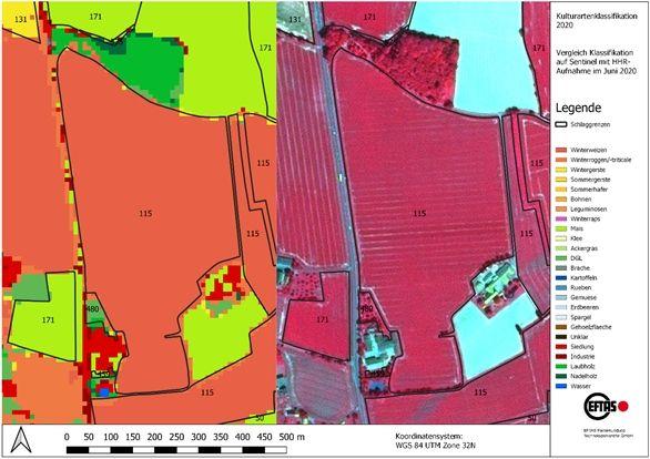
EFTAS develops AI for agricultural subsidy control.
19.02.2023
Photo app and artificial intelligence facilitate subsidy area applications.
Agriculture | ForestryGeoIT-ServicesSoftware | Technology | Development
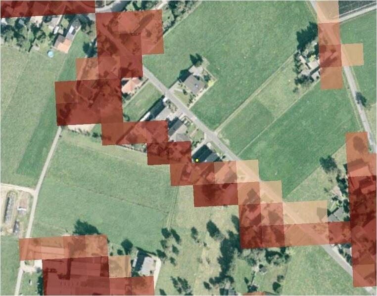
LUCAS and Copernicus.
19.03.2016
Synergies of European geospatial data sets.
Environment | NatureGeospatial Data | Analysis | AcquisitionSoftware | Technology | Development
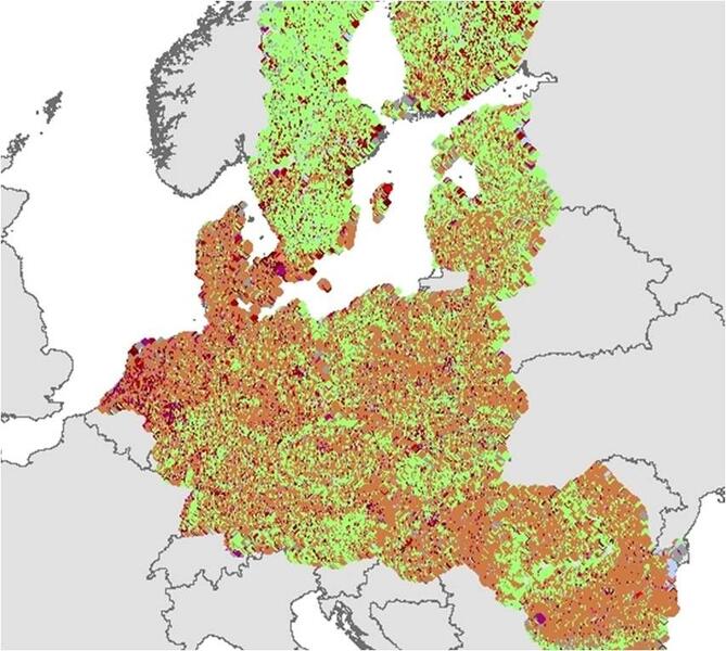
Point by point detection.
01.02.2016
LUCAS – a Europe-wide mapping project.
Environment | NatureGeospatial Data | Analysis | AcquisitionSoftware | Technology | Development

Jetzt unseren Newsletter abonnieren.
Subscribe to our newsletter.