Copernicus Land Monitoring Service (CLMS)

Environment & NatureEventsGeospatial Data, Analysis & AcquisitionSoftware, Technology & Development
Share this post:
Contact person

Imagine the complexity of one of the world’s largest databases of publicly available land use and land cover data for the whole of Europe: 170 different datasets with 26 data products – that’s the Copernicus Land Monitoring Service (CLMS)!

We are happy to lead an international consortium under a new validation contract that will build a cloud-based system for the robust validation of most European CLMS products over the next four years!

To ensure that the CLMS is highly accurate and meets technical specifications and user requirements, it will undergo a rigorous quality control process. Both new and proven reference data (e.g. from the Copernicus in-situ component) are taken into account in the independent validation. Only in this way, the CLMS can remain the indispensable tool for research, planning and decision-making in a wide range of application areas.

The new validation contract focuses on standardising processes to a greater extent, making them more efficient and carrying out validation very quickly, which means that the data records shall be validated within three months of being created. Part of the concept is also that not only the precision of the products is assessed. Their technical suitability for the intended areas of application will also be evaluated.

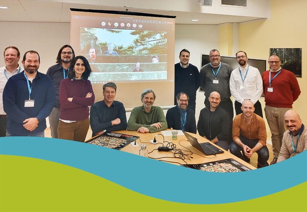
At the beginning of March, the project entered its first phase with the kick-off at the European Environment Agency (EEA) in Copenhagen. In this phase, the IT system will be set up, suitable reference data will be prepared and the methods will be defined. This will establish a common CLMS validation framework aimed at consistency and efficiency, as well as transparency, reusability, reproducibility, sustainability and compliance with relevant standards.

As far as operational capability is achieved at the end of the start-up phase, the first validations can be carried out as early as 2024. The CLC+ backbone grid 2018/2021 and the upcoming high resolution layers are planned for this purpose.

The project is managed by EFTAS Fernerkundung Technologietransfer GmbH and supported by JBA Consulting Ireland and COBA.

 

Share this post:

Similar posts

Ultraschwimmen 2026: A New Perspective at the Münster Harbor!

26.08.2026

This Saturday, for a change, we won’t be looking down at the water from above. That’s because the “Ultraschwimmen Münster 2026” will once again be taking place at the city harbor!

EventsTeam

Running with burning soles at the Campus Run!

29.06.2026

Our running team challenged the heat at the Leonardo Campus Run last week.

Team

ESA-ESRIN INSIGHT 2026: EFTAS presents GIGASAR

20.05.2026

New approaches to combining SAR monitoring, AI and BIM met great interest in Frascati.

Events

The European Conference for Biodiversity Monitoring

08.05.2026

In Montpellier EMBAL was part of the BioMonWeek 2026!In Montpellier war EMBAL Teil der BioMonWeek 2026!

Environment & NatureEventsGeospatial Data, Analysis & Acquisition

Poster award for GIGASAR

07.05.2026

Award for the innovative integration of SAR, BIM, and geospatial data for infrastructure movement analysis.

City & Transport

Satellite data for sustainable decisions

24.03.2026

EFTAS at the SustainableSolutionsMatch 2026

Environment & NatureEventsGeoIT-ServicesGeospatial Data, Analysis & Acquisition

Focus on AI-supported forest analysis

18.03.2026

EFTAS auf der SmartForest 2026

Agriculture & ForestryEventsGeoIT-ServicesGeospatial Data, Analysis & AcquisitionResearch & Consulting

Cop4ALL-DE is part of the German Government’s 6th “Geo-Fortschrittsbericht” (Geo Progress Report).

13.02.2026

The report outlines developments in the field of geoinformation.

GeoIT-ServicesGeospatial Data, Analysis & AcquisitionResearch & Consulting

Precise green space monitoring for climate-resilient cities

10.02.2026

EFTAS demonstrates an integrated approach combining remote sensing, AI and close-range photogrammetry

City & TransportDownloadGeospatial Data, Analysis & Acquisition

GIGASAR: The trend topic ‘Precise infrastructure monitoring’

29.01.2026

New opportunities through the fusion of BIM and SAR data in ESA project.

City & TransportGeoIT-ServicesGeospatial Data, Analysis & AcquisitionMining & Geo-ResourcesProjectsResearch & Consulting

Subscribe to our newsletter.

Subscribe to our newsletter.









