LUCAS and Copernicus.

Environment & NatureGeospatial Data, Analysis & AcquisitionSoftware, Technology & Development
Share this post:
Contact person

LUCAS and Copernicus. Two variables in the European geodata scene. They both describe programs for the provision of pan-European land use and land cover information. Each program has its own history, its own intention and its own justification. The Land Use/Cover Area Frame Survey, in short LUCAS [Link intern nn], is a European-wide survey that provides comparable statistics on land use and land cover on the basis of a systematic area sampling. The surveyed points are analysed statistically by the European commission.

The goal of Copernicus, previously known as GMES (Global Monitoring for Environment and Security), is the establishment of a European infrastructure for environmental monitoring. Copernicus has a fleet of earth observation satellites to produce specific geoinformation services.

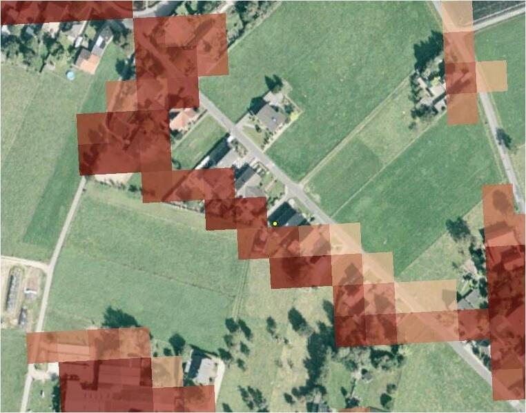
Therefore, LUCAS and Copernicus are two completely different programs. On behalf of the European Topic Centre Urban, Land and Soil (ETC/ULS) and the European Environmental Agency (EEA), EFTAS analysed the interfaces of these two programs with regard to the aspect of monitoring. How do these two programs fit together with regard to temporal, thematic and spatial processes as well as data models?

The study proved that LUCAS can make a contribution to the Copernicus program. On the basis of the results, recommendations were made for the improvement and harmonisation of different data models and processes. Not only were further empirical analyses proposed, but it was also initiated to provide results to the EAGLE working group (Eionet [European Environment Information and Observation Network] Action Group on Land monitoring in Europe). This group advocates the harmonisation of geoinformation on land cover on a European level.


Share this post:

Similar posts

Ultraschwimmen 2026: A New Perspective at the Münster Harbor!

26.08.2026

This Saturday, for a change, we won’t be looking down at the water from above. That’s because the “Ultraschwimmen Münster 2026” will once again be taking place at the city harbor!

EventsTeam

Running with burning soles at the Campus Run!

29.06.2026

Our running team challenged the heat at the Leonardo Campus Run last week.

Team

ESA-ESRIN INSIGHT 2026: EFTAS presents GIGASAR

20.05.2026

New approaches to combining SAR monitoring, AI and BIM met great interest in Frascati.

Events

The European Conference for Biodiversity Monitoring

08.05.2026

In Montpellier EMBAL was part of the BioMonWeek 2026!In Montpellier war EMBAL Teil der BioMonWeek 2026!

Environment & NatureEventsGeospatial Data, Analysis & Acquisition

Poster award for GIGASAR

07.05.2026

Award for the innovative integration of SAR, BIM, and geospatial data for infrastructure movement analysis.

City & Transport

Satellite data for sustainable decisions

24.03.2026

EFTAS at the SustainableSolutionsMatch 2026

Environment & NatureEventsGeoIT-ServicesGeospatial Data, Analysis & Acquisition

Focus on AI-supported forest analysis

18.03.2026

EFTAS auf der SmartForest 2026

Agriculture & ForestryEventsGeoIT-ServicesGeospatial Data, Analysis & AcquisitionResearch & Consulting

Cop4ALL-DE is part of the German Government’s 6th “Geo-Fortschrittsbericht” (Geo Progress Report).

13.02.2026

The report outlines developments in the field of geoinformation.

GeoIT-ServicesGeospatial Data, Analysis & AcquisitionResearch & Consulting

Precise green space monitoring for climate-resilient cities

10.02.2026

EFTAS demonstrates an integrated approach combining remote sensing, AI and close-range photogrammetry

City & TransportDownloadGeospatial Data, Analysis & Acquisition

GIGASAR: The trend topic ‘Precise infrastructure monitoring’

29.01.2026

New opportunities through the fusion of BIM and SAR data in ESA project.

City & TransportGeoIT-ServicesGeospatial Data, Analysis & AcquisitionMining & Geo-ResourcesProjectsResearch & Consulting

Subscribe to our newsletter.

Subscribe to our newsletter.








