

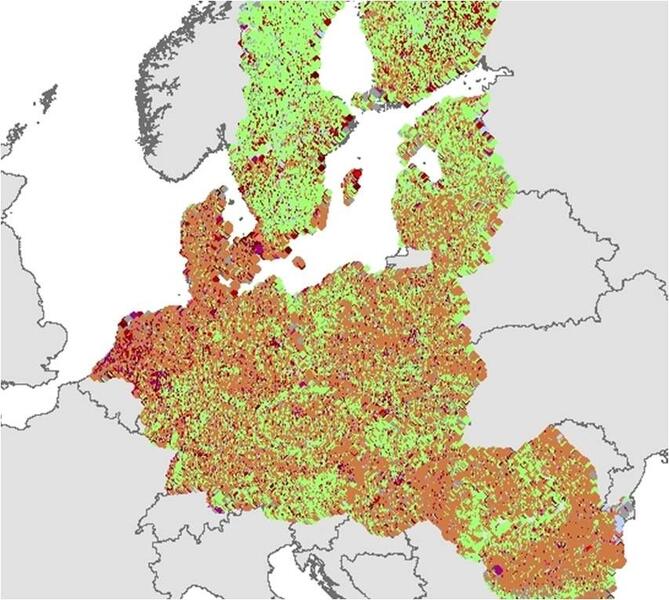
Imagine covering the whole of Europe with a sampling grid of 2 x 2 km generating 270.000 intersection points that are used to map land use and land cover on the ground. No matter, whether it is agriculture, forest or urban area.
A mammoth task? Of course. But absolutely essential for EUROSTAT. For years, EFTAS has been substantially involved in the accomplishment of this task, together with a strong partner network. EUROSTAT is the statistical office of the European Union and responsible for the provision of statistics at European level. LUCAS (Land Use/Cover Statistical Area Frame Survey) provides fundamental and harmonised information on land use and land cover that can be used for long term observations, e.g. sealing, soil degradation, the impact of agriculture on the environment and the degree of landscape fragmentation. LUCAS is a stratified sample on the basis of a regular point grid covering the whole of the EU’s territory. It has become an operational EUROSTAT standard to provide harmonised, geostatistical information. The first LUCAS survey was held in 2001. Since 2009, the LUCAS survey is carried out operational in a three-yearly interval.
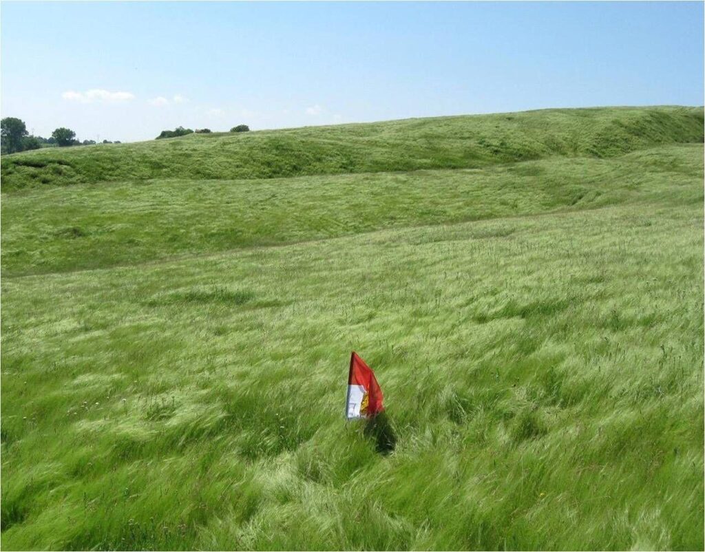
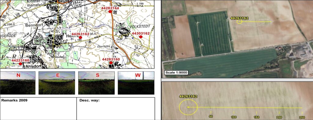
The mapping requirements have continued to develop since 2001. The set of rules is by no means trivial. Land cover is differentiated into 69 classes, land use into 33 classes. Starting from the survey point, these classes are recorded on a 250 m transect in eastward direction. Moreover, pictures are taken at the point in all four cardinal directions. On the ground, the surveyor also collects information on a further 60 parameters in order to provide a differentiated description of the survey point. A top soil sample is taken for 10 % sample of the surveyed points.
Just like the survey methodology, the management of the project is very complex. EFTAS has been coordinating a European wide network of surveyors and partner companies. The implementation of the survey requires extensive preparation. To ensure the efficient running of the project, the surveyors are professionally trained and technically equipped by EFTAS. To support the surveyors in the field, EFTAS has developed an App called PLOP. Nevertheless, the back office remains the main central authority for the direct clarification of urgent questions from the surveyors in the field. With the beginning of the field survey, the internal quality control as well as the processing of data for delivery to the external quality control by EUROSTAT plays a vital role. EFTAS is judged by its continuous high quality of data. Besides the provision of statistical data for socio-environmental studies, LUCAS has become of further significance in the context of COPERNICUS. COPERNICUS, previously known as GMES (Global Monitoring for Environment and Security), is the European Programme for the establishment of an autonomous European satellite infrastructure including Earth Observation services. The terrestrial survey data of LUCAS serve as a valuable addition to the COPERNICUS services. Details on how to integrate the data have been documented in a recent study conducted by a European expert network.Dennoch bleibt das Backoffice die zentrale Anlaufstelle für die direkte Klärung dringender Fragen der Erheber vor Ort. Mit Beginn der Felderhebung spielen sowohl die interne Qualitätskontrolle als auch die Aufbereitung der Daten für die Übermittlung an die externe Qualitätskontrolle durch EUROSTAT eine entscheidende Rolle. EFTAS wird an der kontinuierlich hohen Qualität seiner Daten gemessen.
Besides the provision of statistical data for socio-environmental studies, LUCAS has become of further significance in the context of COPERNICUS. COPERNICUS, previously known as GMES (Global Monitoring for Environment and Security), is the European Programme for the establishment of an autonomous European satellite infrastructure including Earth Observation services. The terrestrial survey data of LUCAS serve as a valuable addition to the COPERNICUS services. Details on how to integrate the data have been documented in a recent study conducted by a European expert network.










