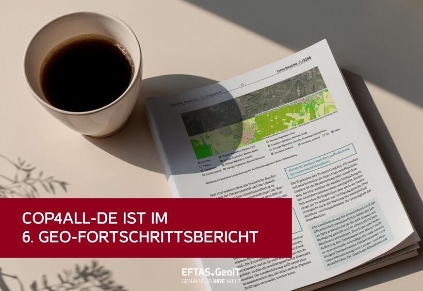
The report outlines developments in the field of geoinformation.
Up-to-date and reliable geodata help us to understand complex spatial relationships and make well-informed decisions. Against this backdrop, the German Government’s 6th ‘Geo-Fortschrittsbericht’ (Geo Progress Report) highlights progress made in the development of various fields within geoinformation.
An entire chapter is devoted to the innovative Cop4ALL-DE process, which makes the ‘Land Cover Germany’ (Landbedeckung Deutschland, LB) dataset available as a WMS. The LB is a product of the federal and state surveying authorities and, for the first time, provides a comprehensive, non-overlapping and nationally standardised record of land cover at high spatial resolution.
It thus forms an important basis for numerous environmentally relevant issues – ranging from the analysis of the degree of soil sealing, through landscape and spatial planning, to climate simulations and reporting obligations to the European Commission.
The AI-supported remote sensing method Cop4ALL-DE was used to derive the land cover data. The software solution was developed by EFTAS; together with our project partner VertiGIS, we have further developed the Cop4ALL-NRW method, which was originally piloted in North Rhine-Westphalia.
The full report can be found here:
https://dserver.bundestag.de/btd/21/032/2103245.pdf
Would you like to find out more about Cop4ALL-DE?