

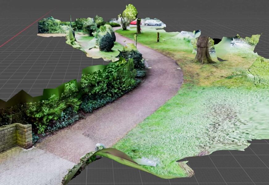
Cities face the challenge of managing green spaces efficiently whilst making them climate-resilient. This requires up-to-date, reliable data. EFTAS has advanced its workflows for the digital mapping of urban green spaces and demonstrates how remote sensing, AI-supported analysis and close-range photogrammetry work together seamlessly.
We use high-resolution aerial imagery and precise 3D stereo mapping to create a comprehensive digital representation of urban green spaces. Where this form of analysis reaches its limits, we supplement it with smartphone-based close-range photogrammetry.
Using short video sequences, we capture hidden or hard-to-access areas and use them to generate georeferenced 3D models. In this way, for example, sections of paths, playground equipment or benches hidden beneath dense tree canopies become visible. Information that previously could only be obtained through time-consuming field surveys can now be captured more efficiently and with greater data depth.
A detailed technical article on these developments has been published in the latest issue of Business Geomatics.
The article can be downloaded here (Source: Business Geomatics Issue 4/2025):










