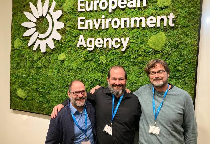
Drei Kollegen der EFTAS vorm EEA-Logo

‘Hej fra København!’

Geospatial Data, Analysis & Acquisition
Share this post:
Contact person

Today we’re sending a ‘Hej fra København!’ to the European GeoIT community!

We’re here at the European Environment Agency (EEA) for the ‘Validation Readiness Meeting’ of our contract to develop a cloud-based system for the robust validation of most European CLMS products.

The Copernicus Land Monitoring Service (CLMS) is one of the world’s largest databases of publicly available land use and land cover data covering the whole of Europe. As part of an international consortium, we are tackling the complex task of validating CLMS products. The project is led by EFTAS and supported by JBA and COBA.

You can find more information about our CLMS validation here: Link

Share this post:

Similar posts

Ultraschwimmen 2026: A New Perspective at the Münster Harbor!

26.08.2026

This Saturday, for a change, we won’t be looking down at the water from above. That’s because the “Ultraschwimmen Münster 2026” will once again be taking place at the city harbor!

EventsTeam

Running with burning soles at the Campus Run!

29.06.2026

Our running team challenged the heat at the Leonardo Campus Run last week.

Team

ESA-ESRIN INSIGHT 2026: EFTAS presents GIGASAR

20.05.2026

New approaches to combining SAR monitoring, AI and BIM met great interest in Frascati.

Events

The European Conference for Biodiversity Monitoring

08.05.2026

In Montpellier EMBAL was part of the BioMonWeek 2026!In Montpellier war EMBAL Teil der BioMonWeek 2026!

Environment & NatureEventsGeospatial Data, Analysis & Acquisition

Poster award for GIGASAR

07.05.2026

Award for the innovative integration of SAR, BIM, and geospatial data for infrastructure movement analysis.

City & Transport

Satellite data for sustainable decisions

24.03.2026

EFTAS at the SustainableSolutionsMatch 2026

Environment & NatureEventsGeoIT-ServicesGeospatial Data, Analysis & Acquisition

Focus on AI-supported forest analysis

18.03.2026

EFTAS auf der SmartForest 2026

Agriculture & ForestryEventsGeoIT-ServicesGeospatial Data, Analysis & AcquisitionResearch & Consulting

Cop4ALL-DE is part of the German Government’s 6th “Geo-Fortschrittsbericht” (Geo Progress Report).

13.02.2026

The report outlines developments in the field of geoinformation.

GeoIT-ServicesGeospatial Data, Analysis & AcquisitionResearch & Consulting

Precise green space monitoring for climate-resilient cities

10.02.2026

EFTAS demonstrates an integrated approach combining remote sensing, AI and close-range photogrammetry

City & TransportDownloadGeospatial Data, Analysis & Acquisition

GIGASAR: The trend topic ‘Precise infrastructure monitoring’

29.01.2026

New opportunities through the fusion of BIM and SAR data in ESA project.

City & TransportGeoIT-ServicesGeospatial Data, Analysis & AcquisitionMining & Geo-ResourcesProjectsResearch & Consulting

Subscribe to our newsletter.

Subscribe to our newsletter.









