

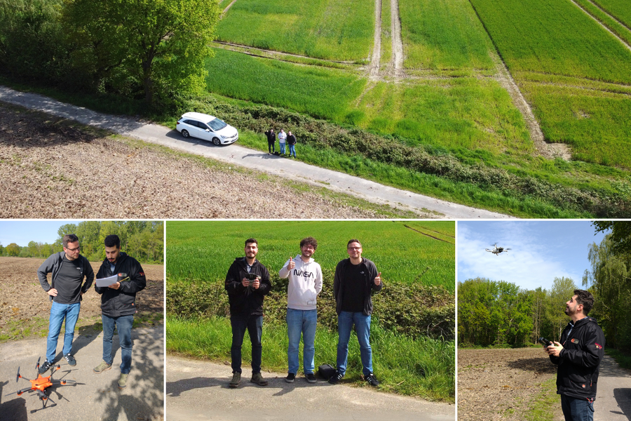
The connection between coastal protection in Algeria and multicopters is the visit by Mohamed Radhwen Khelifi Touhami, whom we were pleased to welcome to Münster as part of a capacity-building training program. He is a project manager and geodata expert at the German Society for International Cooperation (GIZ) in Algeria.
His current project, PEBLA, aims to protect and sustainably manage Algeria’s unique coastal landscape. By involving the private sector and the tourism industry, and by strengthening local stakeholders, the project improves the conditions for integrated coastal zone management while also facilitating the creation of new protected areas.
“In workshops and training sessions, we regularly exchange ideas with international guests on GeoIT and environmental monitoring,” reports Luca Kleinewillinghöfer, who has often worked for us in various African countries. “Based on our current projects, we discussed with Radhwen key aspects of GIS, remote sensing, and multicopter mapping that can be important for modern national park management. This helped build a solid professional bridge to Algeria and the PEBLA project.”
With ideal flying conditions in the Münsterland region, we were able to put our multicopters to the test and demonstrate their potential for environmental monitoring in a very practical way.
“The high technical standard, combined with the warm and friendly atmosphere, really enriched my training at EFTAS,” Radhwen says, summarizing his visit. “Back in 2019, we collaborated on a QGIS guide for the management of protected areas in Algeria, which is still widely used and ranks as the most downloaded resource on our website. This is exactly how international cooperation can advance environmental protection. That’s why I’m looking forward to future joint projects and meetings!”
Radhwen’s visit also included trips to various national parks and protected areas. Among other things, the visit highlighted ways to inform people who visit a protected area in their free time or on vacation and to guide them through the area in a sustainable manner.
“We’re looking forward to seeing Radhwen again! In addition to the personal connection, exchanging ideas with international partners always provides us with an important change of perspective,” says our colleague Luca, summarizing the visit. “We also always learn a lot about local conditions. This allows us to advise other stakeholders in the respective regions in a very targeted way and work with them to develop suitable solutions.”
Photos: Mohamed Radhwen Khelifi Touhami with our colleagues Michael Kobs and Martin Schladör during multicopter training in the Münsterland region










