

AI meets geodata
On 24 and 25 September, the AI4EO Workshop 2025 took place in Bonn – a meeting spot for everyone involved in artificial intelligence and Earth observation (EO). Organised by ML4Earth and supported by the German Space Agency, the event brought together researchers, companies and public authorities to discuss the future of AI-supported geospatial applications.
Among the participants was Dr Chia-Hsiang Yang from EFTAS, who gave a compelling presentation during the session ‘Multisensor Data Fusion in Earth Observation’. Under the title ‘Fusion of BIM and SAR for Innovative Monitoring of Urban Movement – Towards a 4D Geospatial Digital Twin’, he demonstrated how building information modelling (BIM) and synthetic aperture radar (SAR) data can be combined to capture horizontal and vertical movements of urban infrastructure not only spatially but also temporally. The aim is to create a 4D geospatial digital twin that depicts cities in a vivid and dynamic way – a real boost to innovation in urban planning and infrastructure monitoring.
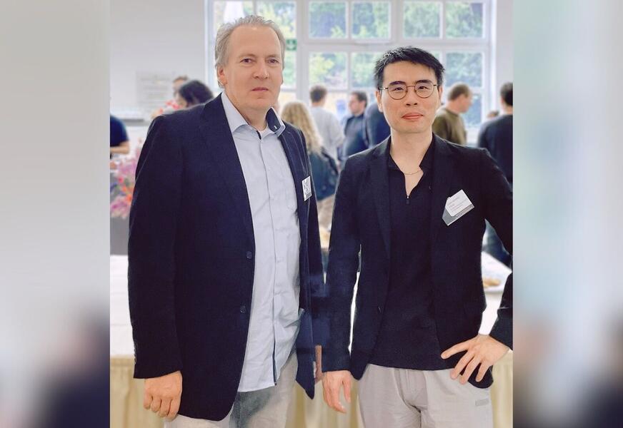
Chia was accompanied by Dr Sönke Müller, a project manager at EFTAS specialising in geodata integration and digital twins. He used the workshop as an opportunity for professional exchange and networking, as the combination of AI, remote sensing and local authority applications is, in particular, key for him in driving forward sustainable solutions for urban development. A group photo of the two of them taken at the event shows that EFTAS brings not only expertise but also team spirit to the table!
The AI4EO workshop offered two days packed with inspiration, discussions and new ideas – and EFTAS was right at the heart of it all. We are happy to be part of this forward-looking community!










