Soil remote sensing at EFTAS

Environment | NatureMining | Geo-Resources
Share this post:
Contact person
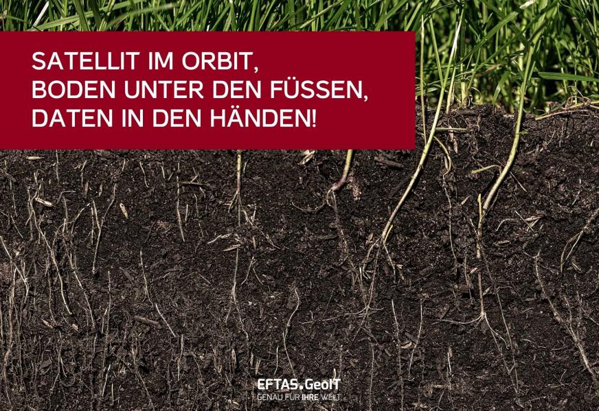
Seitlicher Anschnitt des oberen Bodenhorizonts, darüber etwas Gras, das in den Boden wurzelt.

Re-wetting monitoring, soil movements, in-situ sampling and much more!

Two quick facts about soil remote sensing:

  1. Remote sensing doesn’t stop at the soil surface!
    This is because radar sensors are able to enter the soil to a depth ranging from a few centimetres to several decimetres.
  2. Ground truth information is extremely important for remote sensing!
    This is because analysis processes can often only be properly calibrated and validated using in-situ samples.

And these are just two of the many fascinating aspects of soil that we explore.

In addition to satellite-based maps, data cubes, apps and web applications, we solve our clients’ problems with customised GeoIT applications. Want some concrete examples?

Both the rewetting of peatland soils and ground movements caused by interventions in the subsoil or by climate change can be integrated into an automated monitoring system using remote sensing data.

With our heads in the clouds, yet still down-to-earth! You can find much more information in our entry in the ‘Copernicus Soil Network Office’ service provider directory: Link

Curious? Then get in touch!

Share this post:

Similar posts

Datenvisualisierung: Stadt Wuppertal
Stadtgrün als Basis für die Bundesgartenschau. Datenvisualisierung: Stadt Wuppertal

Up-to-date data for Wuppertal’s digital twin

29.09.2026

Remote sensing reveals changes in the tree inventory.

City | TransportGeospatial Data | Analysis | Acquisition

Digital twins are only as good as the geodata on which they are based!

01.09.2026

At INTERGEO (September 15–17, 2026, Munich), we’ll demonstrate how a reliable overall picture can be created from various data sources.

EventsGeospatial Data | Analysis | AcquisitionSoftware | Technology | Development

Ultraschwimmen 2026: A New Perspective at the Münster Harbor!

26.08.2026

This Saturday, for a change, we won’t be looking down at the water from above. That’s because the “Ultraschwimmen Münster 2026” will once again be taking place at the city harbor!

EventsTeam

Running with burning soles at the Campus Run!

29.06.2026

Our running team challenged the heat at the Leonardo Campus Run last week.

Team

ESA-ESRIN INSIGHT 2026: EFTAS presents GIGASAR

20.05.2026

New approaches to combining SAR monitoring, AI and BIM met great interest in Frascati.

Events

The European Conference for Biodiversity Monitoring

08.05.2026

In Montpellier EMBAL was part of the BioMonWeek 2026!In Montpellier war EMBAL Teil der BioMonWeek 2026!

Environment | NatureEventsGeospatial Data | Analysis | Acquisition

Poster award for GIGASAR

07.05.2026

Award for the innovative integration of SAR, BIM, and geospatial data for infrastructure movement analysis.

City | TransportResearch | Consulting

Satellite data for sustainable decisions

24.03.2026

EFTAS at the SustainableSolutionsMatch 2026

Environment | NatureEventsGeoIT-ServicesGeospatial Data | Analysis | Acquisition

Focus on AI-supported forest analysis

18.03.2026

EFTAS auf der SmartForest 2026

Agriculture | ForestryEventsGeoIT-ServicesGeospatial Data | Analysis | AcquisitionResearch | Consulting

Cop4ALL-DE is part of the German Government’s 6th “Geo-Fortschrittsbericht” (Geo Progress Report).

13.02.2026

The report outlines developments in the field of geoinformation.

GeoIT-ServicesGeospatial Data | Analysis | AcquisitionResearch | Consulting

Subscribe to our newsletter.

Subscribe to our newsletter.









