

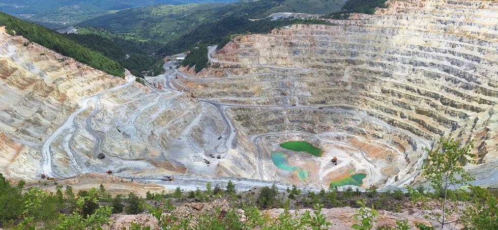
Mining, sustainability, and geodata—these were the topics addressed at the S.C. CUPRU MIN S.A. conference held in Abrud, Romania, at the end of May. Our project manager, Sebastian Teuwsen, was also in attendance and spoke about our role in the new GoldenRAM project.
From May 20 to 22, 2024, experts and interested parties gathered to celebrate the 47th anniversary of the founding of CUPRU MIN. The company specializes in the production of copper and copper ore and, with the Roşia Poieni copper mine, holds the largest copper reserve in Romania and the second-largest in Europe.
Networking Between Business and Science
Among other topics, the conference focused on the GoldenRAM project, launched this year, which brings together mining stakeholders from across Europe. A platform is currently being developed to ensure greater transparency in the mining sector and to promote collaboration among all stakeholders. “The launch of the GoldenRAM platform represents a significant step forward in geodata processing and availability,” summarizes EFTAS project manager Sebastian Teuwsen. He explained how EFTAS is contributing its many years of expertise in remote sensing and mining to the project. “We serve as the link between the industry partners and the scientists, helping to ensure that developments are tailored as closely as possible to specific needs.”
The project coordinators provided fascinating insights into the progress of GoldenRAM. Marko Paavola from VTT presented the overall project as well as the latest developments. Another highlight was the presentation on securing geographic data by Ovidiu Cosma and Dorel Gușat from the Technical University of Cluj-Napoca. They highlighted key principles and practices for effectively protecting geodata.
Mapping from the aerial perspective
The project will soon move into its next phase. “The first field campaigns will soon be conducted at the Aitik mine in Sweden, the Kevitsa mine in Finland, and also in Romania,” explains Sebastian Teuwsen. “In Abrud, various terrestrial samples will be collected and analyzed on site in order to develop new methods, particularly in the field of exploration technology.”
Specifically, the goal is to use XRF detectors to analyze the chemical and mineralogical composition of the rocks via X-ray fluorescence analysis. Subsequently, technical solutions will be developed to determine how these mapping efforts can be supported in the future by hyperspectral drones operating from the air.
For more information about the GoldenRAM project, its partners, and its goals, visit www.goldenram-project.eu










