

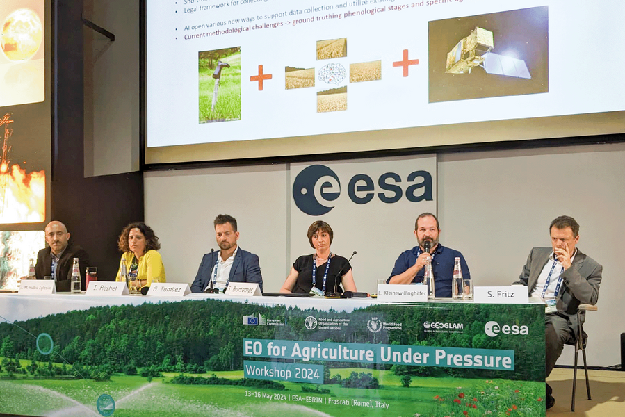
During the panel discussion “In-situ: the last hurdle?”, Luca Kleinewillinghöfer – our expert on international field campaigns and geostatistics – emphasized the need for continuity in field surveys.
The Earth observation community is largely in agreement: EO-compatible in-situ data are necessary and important for training, validation, calibration, and benchmarking purposes. The amount of EO data arriving almost daily is enormous, and the continuity of Copernicus services has been ensured. It should be clear that we do not want to combine these constantly updated massive datasets with inconsistent, outdated in-situ data. That is why harmonized European field data campaigns such as LUCAS or EMBAL must also be guaranteed over the long term.
Furthermore, the EO compatibility of EMBAL or LUCAS is already at a high level or even operational. The “LUCAS-Copernicus Module,” for example, is specifically designed to convert information from sample points to a Copernicus-compatible grid resolution. This is supported by AI-driven derivation of land cover from in-situ images captured in all four cardinal directions. Furthermore, the expectations for regular reporting and monitoring set forth in agricultural and environmental policy can only be met if we view Earth observation and in-situ data as a balanced pair.
Collecting field data on agricultural land can be challenging, and often there is no clear legal framework for collecting data on private property. During the panel discussion, our colleague Luca pointed out a problem that the EU has already recognized: “Gaining farmers’ trust and acceptance regarding the data we collect and our work in the fields is important and crucial. This requires careful and clear communication about what information can be shared with the public.”
Luca also emphasized how important it is to better integrate in-situ data collection into project planning as early as the tendering phase, noting that timing is particularly crucial. This is based on our many years of experience managing the complex task of in-situ campaigns at the European level.
The panel was moderated by Raphaël d’Andrimont (JRC) and Sven Gilliams (GEOGLAM). José Miguel Rubio Iglesias (EEA), Inbal Becker-Reshef (NASA HARVEST, University of Strasbourg), Grégoire Tombez (Green Triangle), Sophie Bontemps (UCLouvain), and Steffen Fritz (IIASA) joined our colleague Luca on the panel.
Thank you very much for the invitation! We were delighted to share our experiences with field mapping projects at the European level with the community during this panel discussion!
EO4AGRI (May 13–16, 2024, Frascati, Italy) was organized by ESA, the European Commission, FAO, the UN World Food Programme, and GEOGLAM.










